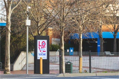
VU Nicholson Street Campus - Footscray
What data is being captured?
This smart counter provides data snapshots every 30 minutes on the following parameters:
- Vehicle, pedestrian and cyclist direction of travel.
The technology uses a camera to identify and differentiate shapes moving across the field of view and counting them based on the direction of travel.
*Note: No video imagery is captured by this technology, and there is no identifying information captured by the sensor.
Why this location?
This intersection is a confined busy space shared with vehicles, pedestrians and cyclists. This data is used to analyse the environmental conditions of this busy intersection, and understand the levels of use at the site by different modes of transport.
Smart Data Dashboard
You can view a data dashboard that is being fed live data from this sensor.
View the Dashboard
Locality Map