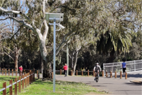
Afton Street Bridge, Maribyrnong

What data is being captured?
This counter collects directional data on how many pedestrian and cyclists use the Afton Street Bridge. The counter feeds back data in 60-minute intervals and can also determine direction of travel.
Generally speaking, this counter observes more pedestrians travelling from East to West, than West to East. This suggests there is a pattern of more pedestrians doing a loop in a particular direction. Cyclist activity is usually much closer to parity which suggests that there are commuters or path users that come back along the same route each day.
Why this location?
This data provides evidence-based insights into how much the footpath and bridge are used; what proportion of users are cyclists; and busy times of the day and week.
Locality Map
This counter is located on the south side of the Maribyrnong River near the Afton Street Pedestrian bridge on the edge of Chifley Drive.